Smallmouth bass fishing on Crescent Lake in Raymond, Maine (June 18, 2016)

View Map

The Crescent Lake boat launch is wide and spacious but comes right off busy Route 85

The Crescent Lake boat launch is wide and spacious but comes right off busy Route 85

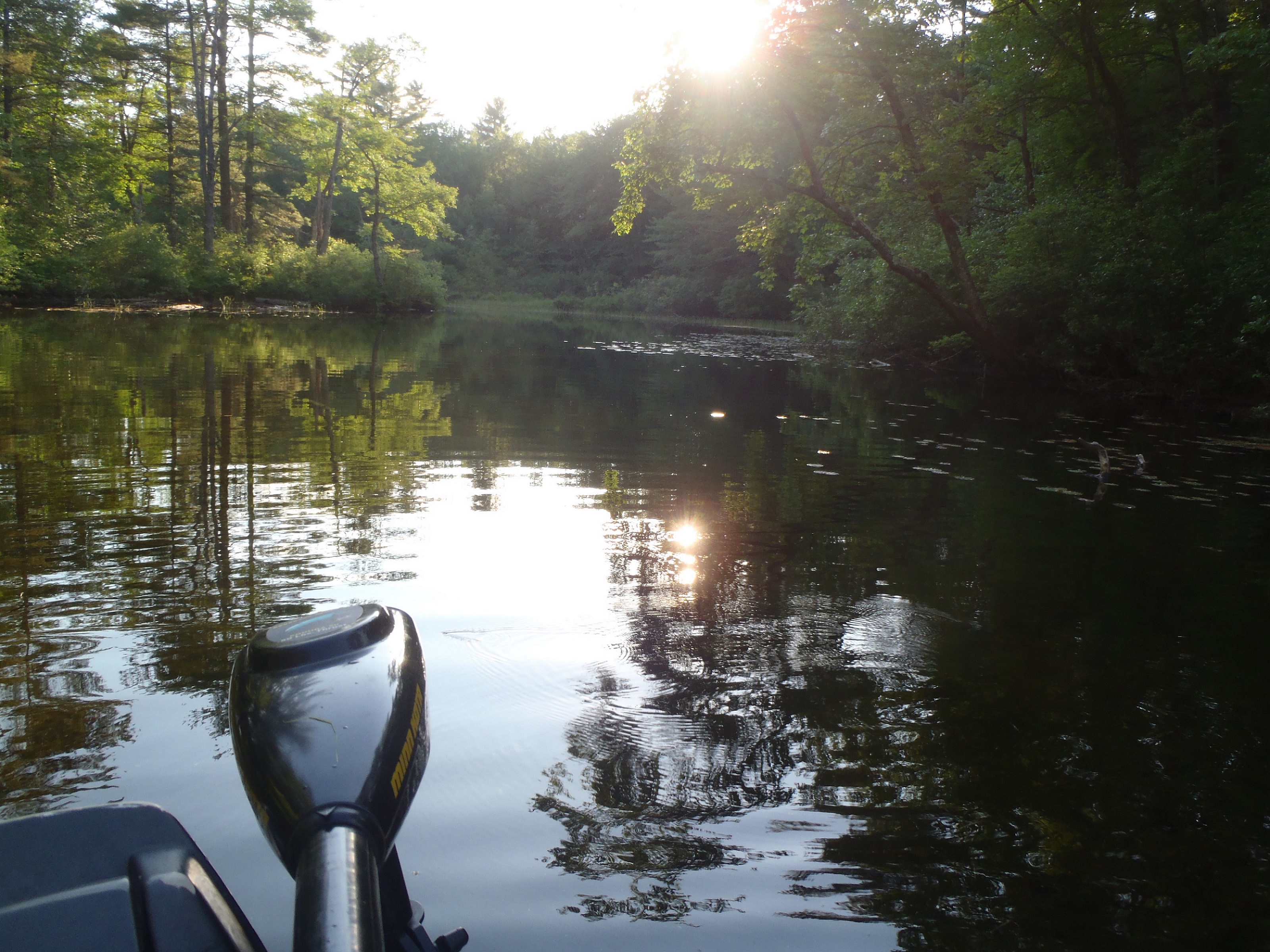
Crescent Lake is a 716-acre body of water located in Raymond, Maine (see the Maine Atlas and Gazetteer map 5 B2). It is part of an interconnected waterway consisting of four lakes (namely Raymond Pond, Crescent Lake, Panther Pond, and Sebago Lake) and three streams (namely an unnamed and non-navigable stream connecting Raymond Pond to Crescent Lake, the navigable Tenney River connecting Crescent Lake to Panther Pond, and the navigable Panther Run connecting Panther Pond to Jordan Bay in Sebago Lake). The public access point to Crescent Lake is located at its southern tip next to Route 85. The launch is hard-topped and can accommodate big boats. Parking is on the shoulder of Route 85. However, beware that maneuvering the boat to get it down the ramp occurs on busy Route 85 itself.


Continue reading

Digiprove sealCopyright protected by Digiprove

Smallmouth bass fishing on Panther Pond, Raymond, Maine (September 5, 2015)

View Map

The fog over Panther Pond is being burned off by the rising sun

The fog over Panther Pond is being burned off by the rising sun

Panther Pond is a 1,439-acre body of water located in Raymond, Maine (see the Maine Atlas and Gazetteer map 5 C2). Access is via an unimproved dirt launch located right before the outlet dam on Mill Street. This launch, which can accommodate larger power boats, is rather steep with a surface consisting of sand and rocks. It can be useful to use a 4X4 vehicle to launch and retrieve motored vessels from this location. Parking for trailered vehicles is “rough” on the side of the road; space is available for only a handful of cars or trucks. A small parking area is located on the opposite side of the dam but can only hold vehicles without trailers. An alternative access option is to release a boat at the official hard-top launch on the southern tip of Crescent Lake (see the Maine Atlas and Gazetteer map 5 B2) and navigate into Panther Pond via the Tenney River.


Continue reading

Digiprove sealCopyright protected by Digiprove

Smallmouth bass fishing on the Androscoggin River, Lisbon Falls, Maine (June 13, 2015)

General view of the Androscoggin River below the Pejepscott boat launch

General view of the Androscoggin River below the Pejepscott boat launch

I’m taking my 12-year old nephew Christian fishing on the Androscoggin River today. One of my preferred spots on this delightful water body is the stretch that runs from the Lisbon Falls Hydrodam, located just upstream of the bridge that carries Route 125 over the river, down to the Pejepscot Hydrodam located about 3 miles further downstream (see the Maine Atlas and Gazetteer map 6 B2). The Pejepscot hard-top boat launch right before the entrance to Lisbon Falls off Route 196 (driving north) provides easy access to the river with plenty of parking. This strectch of river is also a favorite of canoeists and kayakers because the current is relatively slow, except for about 1000 ft or so below the Lisbon Falls Hydrodam. The setting downstream of the boat launch is also gorgeous, with nothing but trees lining both banks of the river. The stretch upstream of the boat launch is more build-up but represents prime smallmouth habitat (more about that later). We start with focusing our attention further downstream in the hope of catching northern pike.


Continue reading

Digiprove sealCopyright protected by Digiprove

Smallmouth bass fishing on Panther Pond, Raymond, Maine (May 8, 2015)

View Map

The eastern shoreline of Panther Pond, with Betty's Neck in the left background.

The eastern shoreline of Panther Pond, with Betty’s Neck in the left background.

Some of the best smallmouth bass fishing on Maine lakes occurs in mid-spring when the fish are moving in-shore to prepare to lay their eggs. Typical smallmouth bass spawning habitat consists of a clean, rocky and bouldery shoreline in 2 to 10 ft of water, with easy access to nearby deeper water. The fish start moving in these shallows when the water temperature reaches the low 50’s in early May. Actual spawning typically starts towards the end of May when the water temperature hovers between the high 50’s and mid 60’s. The smallmouths feed aggressively in May in order to fatten up in preparation for the spawn. The goal, therefore, is to position oneself at the right place and the right time, using the right lure and the right fishing technique, in order to take advantage of this short window of opportunity.


Continue reading

Digiprove sealCopyright protected by Digiprove

Ice fishing for splake and smallmouth bass on Trickey Pond in Naples, Maine (March 29, 2015)

View Map

Trickey Pond is a 311 acre pristine body of water located next to Route 114 in Naples, Cumberland County (see The Maine Atlas and Gazetteer map 4 B5). I have fished this pond numerous times in the past (for recent examples, click here and here) and have invariably found it … trickey and unpredictable! The fishing can be really slow but also rewarding for those who are willing to put in the time and learn its secrets. Today is my last day of the 2015 hard water season. The past winter was long, cold, brutal, and snowy. We experienced what folks around here call a good ole Maine winta! I’m fishing this morning for a couple of hours but have also organized a picnic for later on today on this pond with about 25 friends and family members. The purpose of our get-together is to shake off “cabin fever”, celebrate the end of the cold season and welcome in the start of spring.


Continue reading

Digiprove sealCopyright protected by Digiprove

Smallmouth bass fishing on Dundee Pond, Windham, Maine (July 12, 2014)

View Map

General view if Dundee Pond: calm, serene, and all to ourselves!

General view if Dundee Pond: calm, serene, and all to ourselves!

Dundee Pond is a 197-acre body of water located in Windham and Gorham, Maine (see The Maine Atlas and Gazetteer map 5 D2). A public launch is located off Windham Center Road right below the North Gorham Pond Dam in Windham. This access point has parking for about eight cars but can only accommodate hand-carried craft. The stretch of water between the launch and the pond itself consists of about a quarter mile of the Presumpscot River. The current is steady and relatively strong which requires kayakers and canoeists to paddle their way back up after they’re done fishing on the pond. An alternative approach, which bypasses this flowing water altogether, is to launch an hand-carried craft from the sandy beach at Dundee Park located at the end of Dundee Road off River Road in Windham. The park is open from 8 am until sunset but charges an entry fee of $4 per adult (12 years and older) and $2 per child (2 to12 years). Click here for more information. I also attempted to access the pond at the Dundee Pond dam located at the end of Dundee Road (off Hurricane Road in Gorham) but turned around when I noticed that the road was posted as “no trespassing”.


Continue reading

Digiprove sealCopyright protected by Digiprove

Ice fishing for smallmouth bass on Trickey Pond, Naples, Maine (March 29, 2014)

View Map

General view of Trickey Pond with cloud "mountains" in the background

Early morning view of Trickey Pond looking north with “cloud mountains” in the background

Trickey Pond covers 311 acres and is located next to Route 114 in Naples, Cumberland County (see The Maine Atlas and Gazetteer map 4 B5). Click here for a depth map and more fisheries information. Access to this pond is via a hard-top boat launch off Route 114. Beware that this launch is not typically plowed in the winter and that a 4X4 vehicle is required if you plan on driving down towards the pond. Limited parking is possible along the shoulder on Route 114. Trickey Pond contains exceptionally clean water (the pond is entirely spring-fed) and provides a smorgasbord of sport fish species. It supports a well-known regional salmonid fishery consisting of landlocked salmon, splake, and brook trout. But it also has an abundant smallmouth bass population of exceptional size and quality. It is these fish that I’m targeting today.

Continue reading

Digiprove sealCopyright protected by Digiprove

Smallmouth bass fishing on the Androscoggin River in Lisbon, Maine (June 23, 2013)


View Larger Map

General view of the rapids on the Androscoggin River about 0.5 miles upstream of the Sabattus River boat launch

General view of the rapids on the Androscoggin River about 0.5 miles upstream of the Sabattus River boat launch

I’m fishing a set of rapids on the Androscoggin River with my ten-year old nephew Christian this afternoon. These rapids are found about 0.5 miles upstream of the boat launch located on the Sabattus River where it flows into the Androscoggin River off Route 196 (and just upstream of the old railroad bridge) in Lisbon. We arrive at 4 pm and quickly launch my boat. The water level is quite low and the boat launch isn’t very steep. I’ve got to go way into the water before my small boat floats off the trailer. This could be an issue for more substantial craft.

Continue reading

Digiprove sealCopyright protected by Digiprove

Bass fishing on the Tenny River, Raymond, Maine (June 22, 2013)

View Map

General view of the Tenny River: broad and very shallow.

General view of the Tenny River: broad and very shallow.

The Tenny River connects Crescent Lake to Panther Pond in Raymond, Maine (see The Maine Atlas and Gazetteer map 5 B2). Calling this body of water a “river” is somewhat of a misnomer. It is essentially a 1.5-mile long, shallow thoroughfare. However, the current definitely flows in a southerly direction, from Crescent Lake into Panther Pond. The Tenny River is wide (60 to > 100 ft) but very shallow (1 to 3 ft for the most part). Both banks of the river are lined with trees and woods, providing a nice and “remote” feel. The substrate consists mainly of coarse sand and gravel/pebbles, interspersed with larger rocks. The bottom is either bare or covered with aquatic submerged plants. The water is crystal clear. The limited bass habitat, consisting of weedy shallows and submerged wood, is all congregated along the shoreline. The rest of the river is otherwise pretty featureless and does not provide attractive habitat.


Continue reading

Digiprove sealCopyright protected by Digiprove

Smallmouth bass fishing on Sebago Lake – Dingley Islands, Casco, Maine (June 2, 2013)

View Map

Dingley Islands, Sebago Lake, Maine

Dingley Islands, Sebago Lake, Maine

I’m spending the weekend with my family at Sebago Lake State Park, which is located at the northern end of Sebago Lake in Naples. I love camping at this location in early June because we have the camp ground (almost…) to ourselves, yet the weather is warm enough to make an overnight stay a pleasure. It is only later on in the summer that the park becomes crowded and noisy on weekends. My son Joel and I decide to get up at 6 am on Sunday morning to spend two hours fishing for smallmouth bass in and around the Dingley Islands before the rest of the family gets up. The Dingley islands consist of two dozen or so small to large islands located in the northwestern corner of Sebago Lake, near South Casco (see The Maine Atlas and Gazetteer map 5 C1).


Continue reading

Digiprove sealCopyright protected by Digiprove