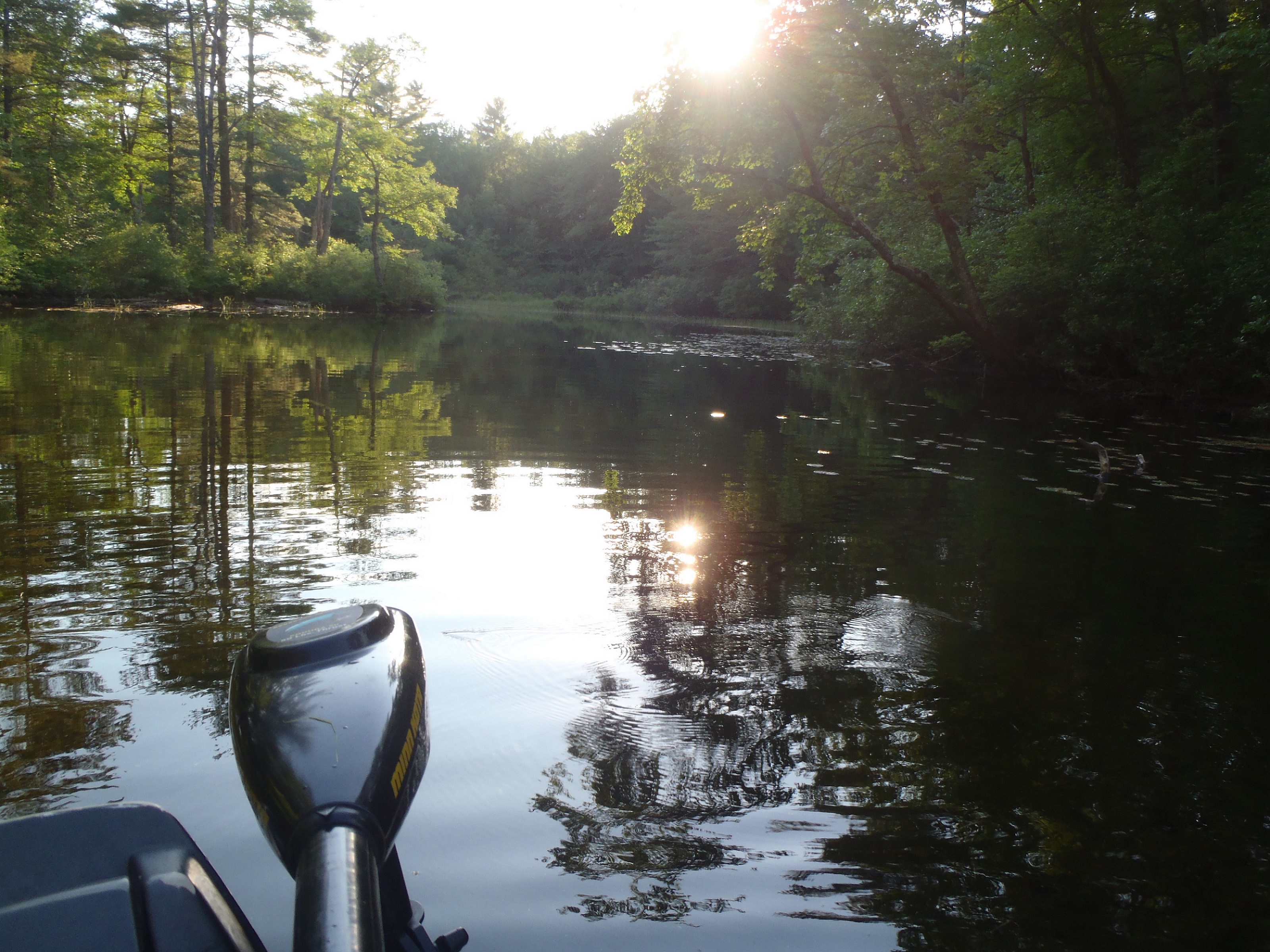
View of La Vis River upstream of Ganges in southern France
I’m spending a family vacation in the region of Ganges (a town located about 44 miles west of the city of Nîmes) in southern France in mid-July of 2013. I start a conversation with the hotelier with whom we’re staying, and of course inevitably end up talking about fishing… He mentions that the river La Vis, which flows into the river Hérault just upstream of Ganges is recognized as the premier trout fishing river in the whole of France (well, he claimed the whole of Europe but I took that with a large grain of salt)! Regardless, information like that fully captures my attention and I decide to give La Vis a shot.
 Copyright protected by Digiprove